SPC NYS Convective Outlook
Outlooks are issued by the National Weather Service Storm Prediction Center (SPC)
 47°F
47°F
Day 1 Severe Weather Outlook
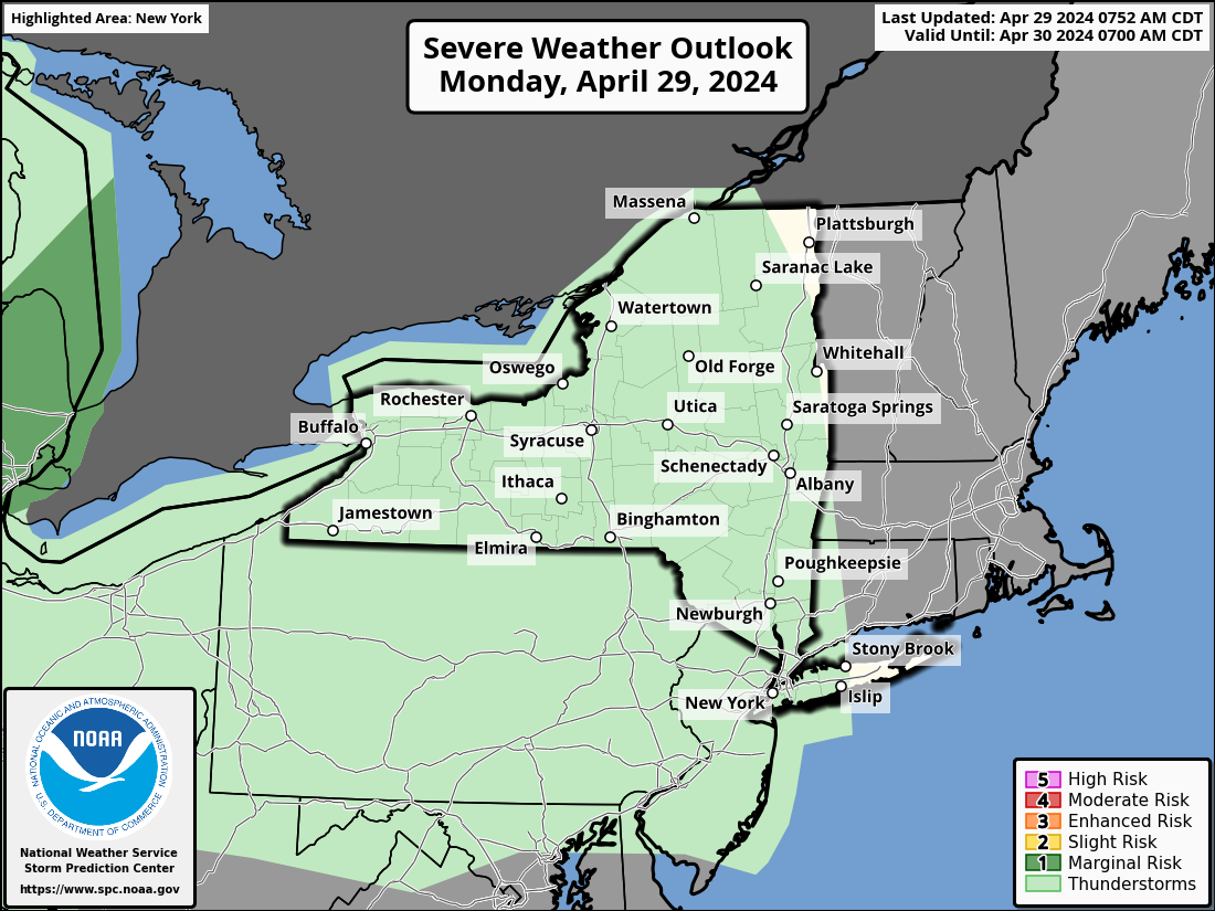


Day 2 Severe Weather Outlook
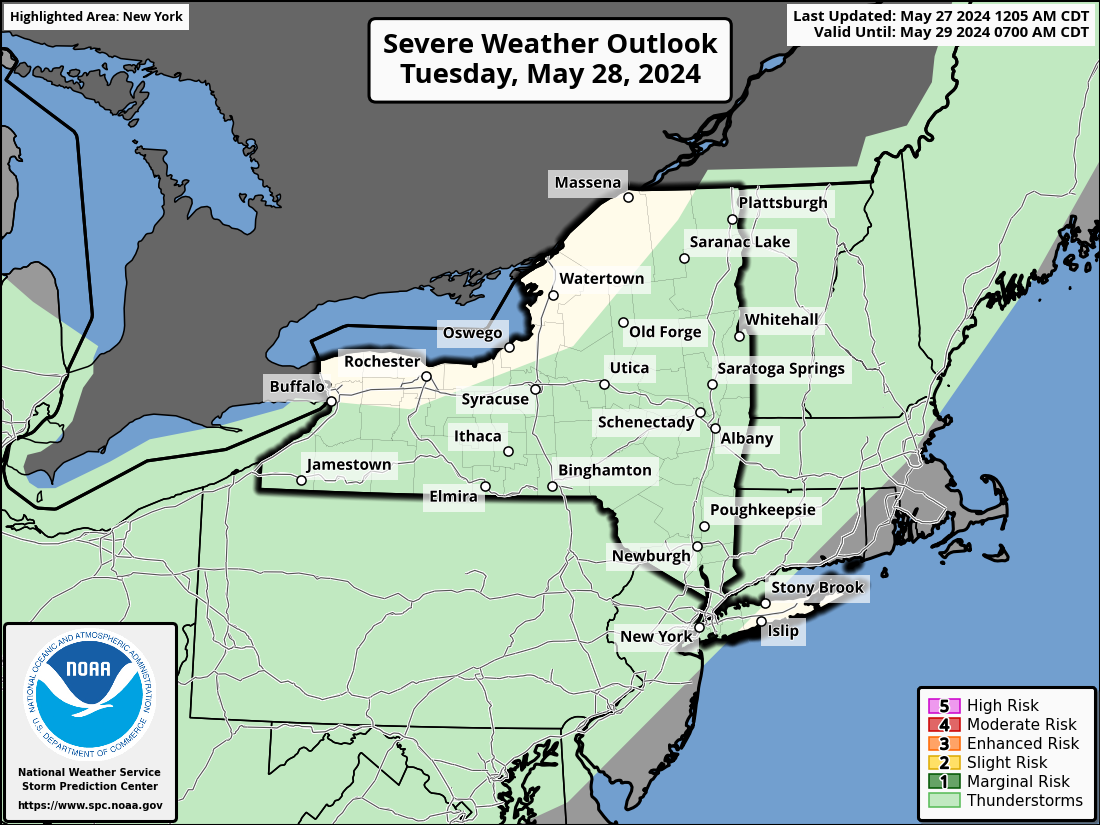


Day 3 Severe Weather Outlook


Day 4-8 Severe Weather Probabilities


Thunderstorms: No severe thunderstorms expected. Lightning/flooding threats exist with all thunderstorms.
Marginal Risk: Isolated severe thunderstorms possible. Limited in duration and/or coverage and/or intensity.
Slight Risk: Scattered severe thunderstorms possible. Short‑lived and/or not widespread; isolated intense storms possible.
Enhanced Risk: Numerous severe thunderstorms possible. More persistent and/or widespread; a few intense.
Moderate Risk: Widespread severe thunderstorms likely. Long‑lived, widespread, and intense.
High Risk: Widespread severe thunderstorms expected. Long‑lived, very widespread, and particularly intense.
Predictability Too Low (days 4–8): Indicates severe storms may be possible based on some model scenarios, but confidence is low.
Potential Too Low (days 4–8): Severe storms appear highly unlikely during the entire period (e.g., less than a 30% probability for a regional severe storm area).
Tornado Outlook: Probability of a tornado within 25 miles of a point. Hatched areas represent a 10%+ chance of EF2–EF5 tornadoes.
Hail Outlook: Probability of 1"+ hail within 25 miles of a point. Hatched areas represent a 10%+ chance of 2"+ hail.
Wind Outlook: Probability of 50‑kt+ thunderstorm winds within 25 miles of a point. Hatched areas represent a 10%+ chance of 65‑kt+ winds.
Source NWS Storm Prediction Center