SPC U.S. Convective Outlooks
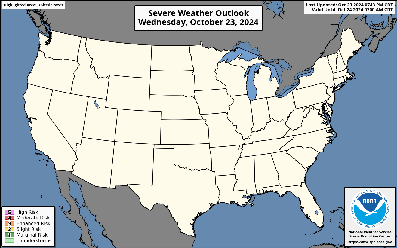


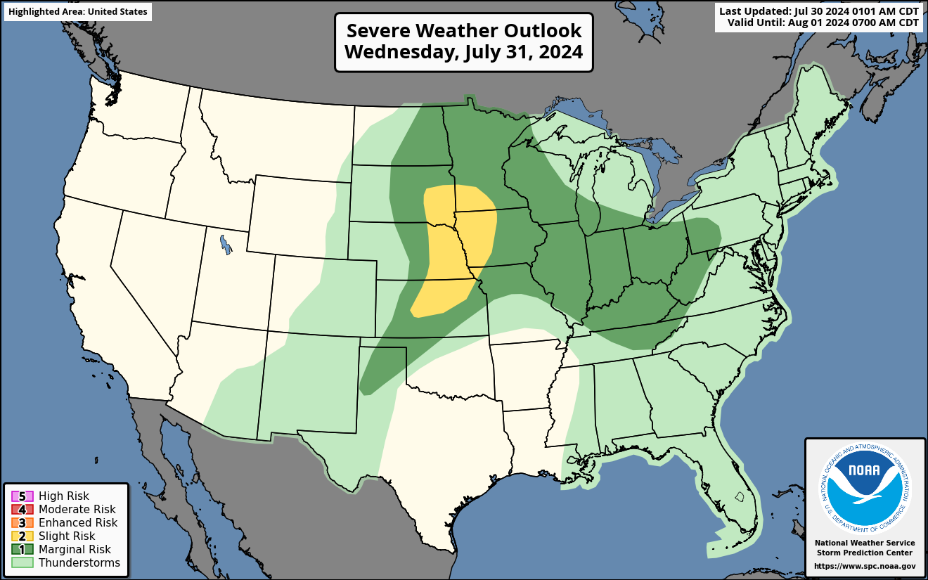
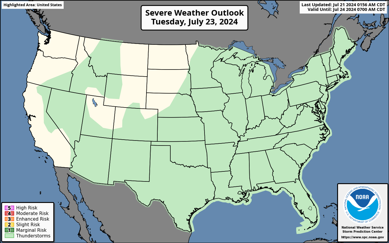


Thunderstorms: No severe thunderstorms expected. Lightning/flooding threats exists with all thunderstorms.
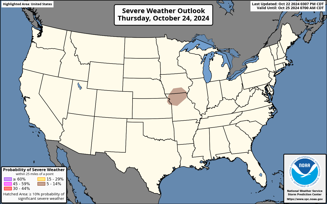
Marginal Risk: Isolated severe thunderstorms possible. Limited in duration and/or coverage and/or intensity.
Slight Risk: Scattered severe thunderstorms possible. Short-lived and/or not-widespread, isolated intense storms possible.
Enhanced Risk: Numerous severe thunderstorms possible. More persistent and/or widespread, a few intense.
Moderate Risk: Widespread severe thunderstorms likely. Long-lived, widespread and intense.
High Risk: Widespread severe thunderstorms expected. Long-lived, very widespread and particularly intense.
Predictablility Too Low (days 4 through 8): Used to indicate severe storms may be possible based on some model scenarios. However, the location or occurrence of severe storms are in doubt due to large differences in the deterministic model solutions, large spread in the ensemble guidance, and/or minimal run-to-run continuity.
Potential Too Low (days 4 through 8): The threat for a regional area of organized severe storms appears highly unlikely during the entire period (e.g. less than a 30% probability for a regional severe storm area across the CONUS through the entire extended period).
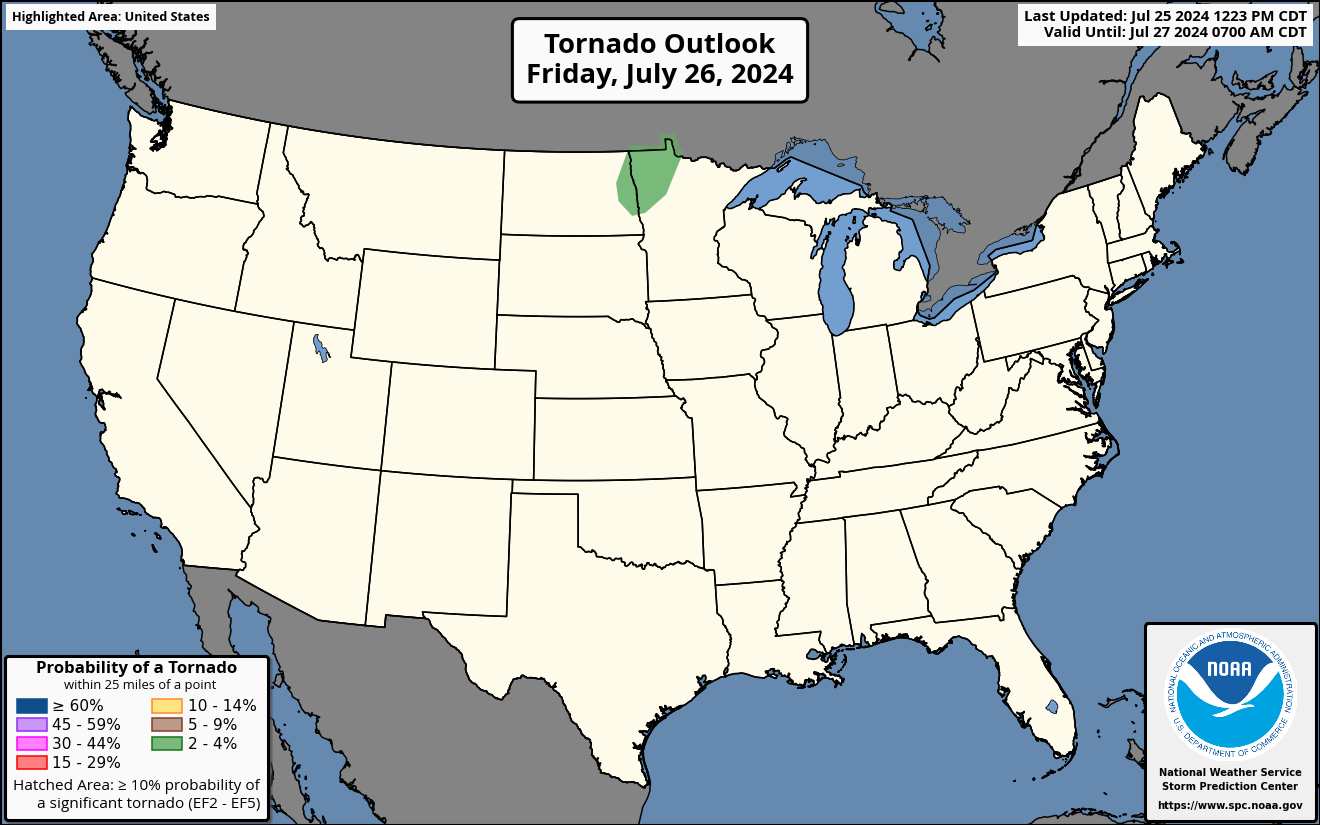
Tornado Outlook: Probability of a tornado within 25 miles of a point. A hatched area represents a 10% or greater probability of EF2 - EF5 tornadoes within 25 miles of a point.
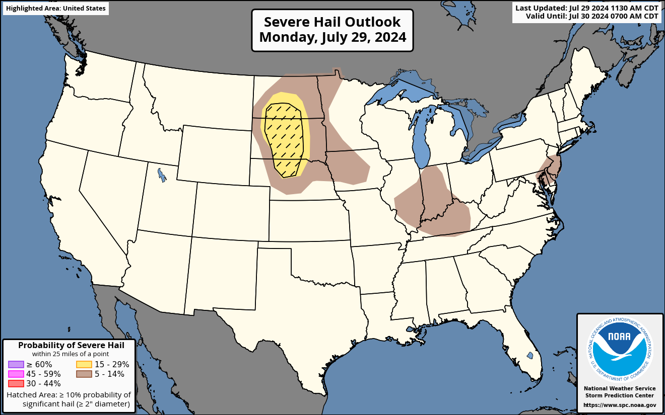
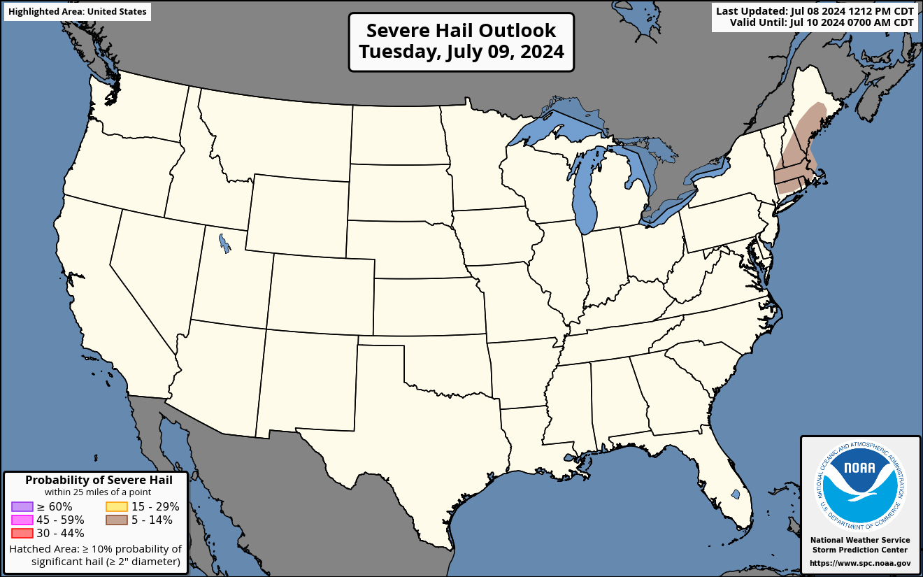
Hail Outlook: Probability of one inch diameter hail or larger within 25 miles of a point. A hatched area represents a 10% or greater probability of two inch diameter hail or larger within 25 miles of a point.
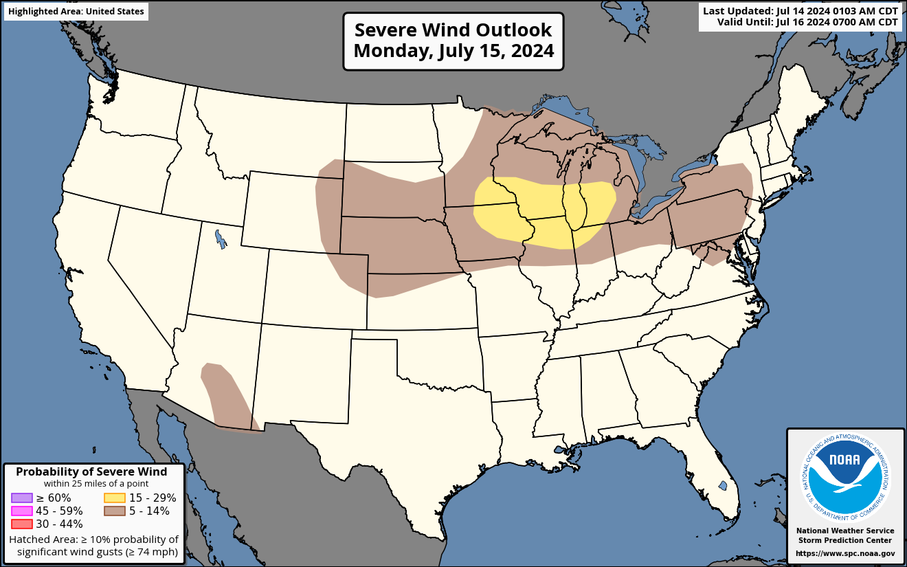
Wind Outlook: Probability of thunderstorm gusts of 50 knots or higher within 25 miles of a point. A hatched area represents a 10% or greater probability of winds 65 knots or greater within 25 miles of a point.
Source NWS Storm Prediction Center